Posts

Meteorological Fall and PNW Troughs?

Image
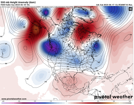
Hello everybody! Sorry for such a long break between this post and the last one. Been a busy Summer and I got quite a bit sidetracked from this blog. From here on, I will make it a priority to post on a more regular basis. Especially since we are getting close to entering our active weather season here in the Pacific Northwest! Anyways, let's get into the forecast... As of today, September 1st, it is now Meteorological Fall!🍂 As if the atmosphere heard the news, cooler weather with some rain is forecasted for this weekend into next week. This weather will be moving into the region due to a series of low-pressure troughs from the north/northwest (see below). This will allow the PNW to cool down and add some rain chances into the forecast... Trough (blue) and ridge (red) positions. Surface temperature departure from normal for Monday the 4th. The first rain chances will spread into parts of Oregon and Idaho as some monsoonal moisture moves north (see below). Some of this will be in

Juneuary Makes Itself Known

Image
🌦17JUN2023 - 1245 PDT 🌦   Hello everyone! After a warm late Spring and beginning of meteorological Summer (June 1st), the Pacific Northwest is about to go into a winter-like pattern for a few days. The weather must have heard the pluviophiles' pleases... This pattern won't bring a ton of rain but it will be damp, cool/cold, and cloudy for many. The mountains will likely get some snow too! Let's dive into things by first looking at the upper-level (high up in the atmosphere) trough (blues and purples) and ridge (reds and oranges) positions. As you can see below, the PNW is going to be under the influence of a deep, cold trough of low pressure. This will bring mountain snow and lowland rain chances through Tuesday/Wednesday of next week. Gusty winds will also be apparent over the mountains of Washington and Oregon so bring some extra layering when heading into the backcountry!      Trough and Ridge  positions Now let's take a closer look at western Washington where more

Warm and Nice with Alpine Thunderstorms for the PNW(and Some Upper-level Smoke)

Image
Hello there everyone to my first-ever blog! I am excited to try to make at least one blog each week where I will go a bit in-depth about what weather the PNW looks to be expecting. *Expect some humor also mixed in* Let's start out by going over what is happening right now. Below you will see the simulated high-pressure ridge (reds and oranges) and low-pressure trough (blues and purples) positions from the GFS model. This gives us a good overview of what conditions will probably be like in parts of North America. Out west, we have a large ridge causing above-average warmth for this time of the year and little to no precipitation. While out east a trough is causing cooler and more unsettled weather. The placement of this ridge over the west is also causing the airflow over the PNW to be favorable for smoke from the Canadian wildfires to enter the region (for the time being). This was very evident during the sunrise this morning which Randy Small from the Whatcom County Weather Page o